Planning Studio
Malaga Hub

Project Overview
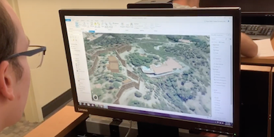
Students worked with the City of Malaga, Spain, to support current planning projects including an urban renewal project in the El Ejido district. Using 3D technologies and other geospatial tools, students created interactive models of specific projects and developed a demonstration ArcGIS Hub for the City. Students travelled to Malaga over spring break to gather field data, present the preliminary work, and solicit feedback from the Planning Department for the City of Malaga.
Project Deliverables
Malaga Studio Summary Report prepared by Jason Karian, MURP
